
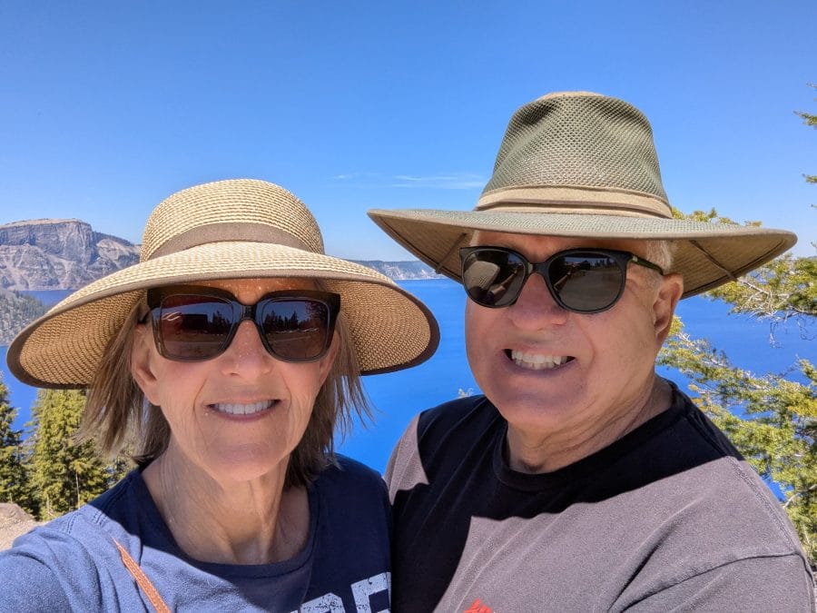
We don’t really look forward to crossing eastern Oregon, and this year was no exception. It is, however, better than crossing eastern Washington. Both eastern Oregon and eastern Washington have the same problem. It is very dry, all caused by the rain shadow effect of the Cascade Mountains. Most of Nevada has the same problem caused by the rain shadow from the Sierra Nevada Mountains. This year, to cross eastern Oregon, we started in Klamath Falls and took a new route, which was nice, but it was still eastern Oregon.
My dislike of eastern Oregon doesn’t include the Grande Ronde and the Blue Mountains. They are beautiful. We haven’t been there in a while, but here is a link about our last visit. Grande Ronde and the Blue Mountains
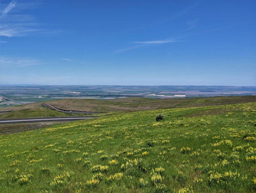
Instead of the Grande Ronde and the Blue Mountains, this post is more accurate about what I consider eastern Oregon. Halfway between Boise and Bend, Oregon, or perhaps this one. More cattle than people

The start of eastern Oregon
While Klamath Falls is the start of eastern Oregon, it really is part of the Cascade Mountains, and it doesn’t turn dry until you head well east of Klamath Falls. To delay our crossing of eastern Oregon, even by a little bit, we instead went north about 25 miles to Collier Memorial State Park. We had been there before and found it delightful.
We like Collier Memorial State Park
We left Klamath Falls on June 14 for a stop north of Klamath Lake at the Oregon State Park at Chiloquin. Collier Memorial State Park is one of our favorites. It was great, even though our favorite sites were closed due to a water issue. The entire “B” loop was closed, and everyone had to use the older “A” loop. We far prefer the “B” loop.
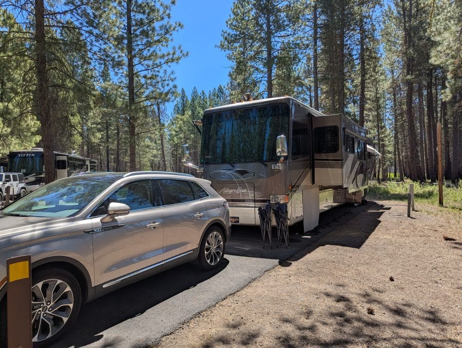
When we arrived at our reserved spot, the camp host suggested we take the spot next to him. As usual, the state park, to keep people from parking off the asphalt, placed rocks and other things in the maneuvering area. The camp host had been there for a long time and figured that I could get our motorhome backed into either spot, but it would be easier if we used the other spot. I’m all about the easier option, assuming the outcome is similar, so we went with his suggestion. Some of the problem was the trees, but most was the rocks.
About campground design
Note for RV parks and campsites: please stop putting boulders all over the campground; they might be decorative, and yes, they prevent people from parking in the wrong area. To me, they are obstacles to parking my RV in my assigned site. While on the subject of designing RV Parks and Campgrounds, please use a level when making a camping spot. I have seen way too many sites that disregard leveling. After I park, I don’t want to use a ladder to reach my RV’s stairs.
Still on the subject of Campground design. I don’t want huge boulders behind my RV or giant wheel stops. Those huge wheel stops are horrible. They would be under my engine if I parked with my wheels at the wheel stop. A normal-sized wheel stop will be fine. There, I feel better.
Difficult parking in Collier Memorial
Even the easier spot at Collier Memorial was a challenge and didn’t look easier to me. If it had been muddy, we wouldn’t have been able to stay there, but everything was as dry as a bone (eastern Oregon dry). We maneuvered off the road into the dirt, then, with a little back-and-forth, we got into our site on the asphalt.
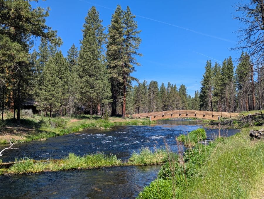
Exiting was just as challenging; we had to pull forward until the front of our RV was across the road and then back up onto the dirt, giving us enough maneuvering room to make our exit. The only difference from our arrival was that, while we were backed up into the dirt, we had to wait for a huge fifth wheel to pass us. The difference between him and us was that we are forty feet long, and his fifth wheel, without his truck, was forty feet long. None of this restricted maneuvering would have happened in the “B” loop. It is easy in, easy out.
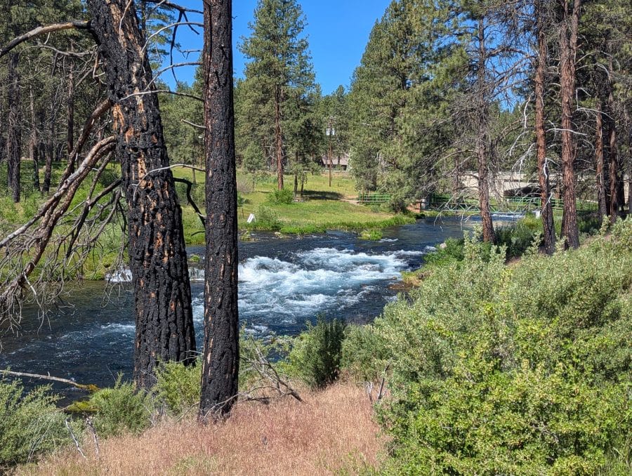
Tami does all the driving into and departing from campsites. At one point, the front of the RV was within a foot of a horribly placed water spigot, and the side of the RV was close to a huge tree, and getting closer as we turned. Backing up put the RV even closer to the tree, and we had just enough room to clear the water spigot.
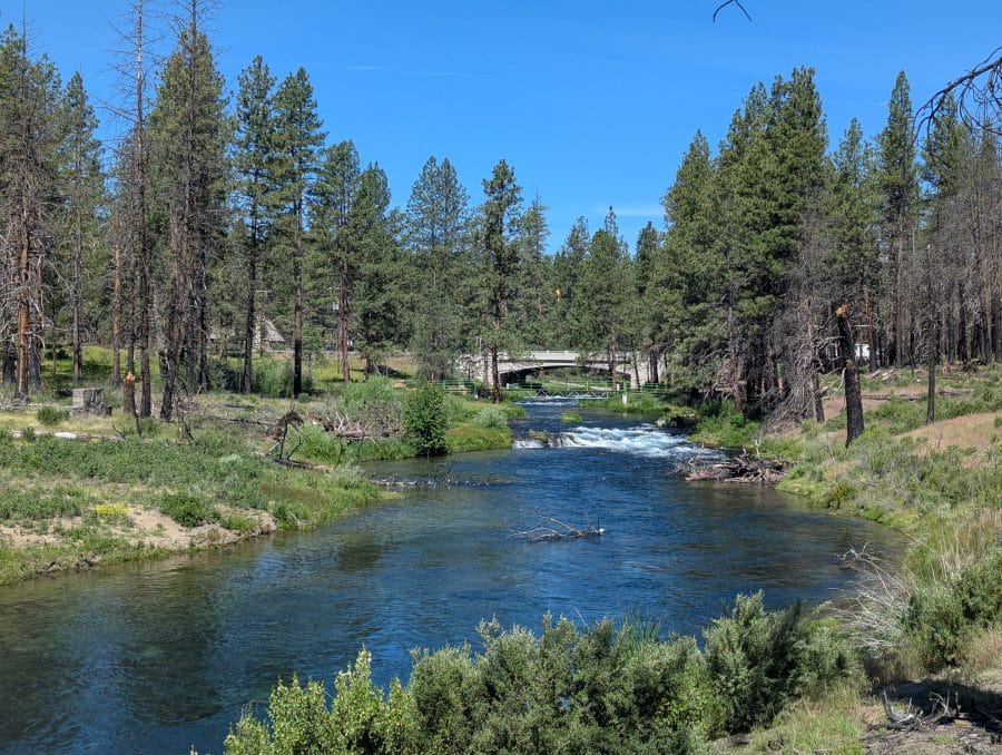
Then there was the next tree right on the nose of the RV. Our passenger mirror cleared this one by at least eight inches. As we were leaving, we had gathered quite a crowd. I think they were rooting for us but betting on the worst. When it was all over, the onlookers all congratulated us on our luck and Tami’s skill.
Exploring Diamond Lake and Crater Lake
While staying at Collier Memorial, I wanted to explore Diamond Lake, but I heard the campsites there were too small, so we drove our car to the lake. We made our way back to Collier Memorial via a trip through Crater Lake National Park.
The campsites at Diamond Lake were not designed for our RV. I had heard rumors that people thought an Airstream was too big. The campgrounds I was interested in are on the east shore of Diamond Lake. After seeing that the campgrounds on the east shore were way too rough for our RV, I gave up before looking at the Thiesen View campground on the west shore.
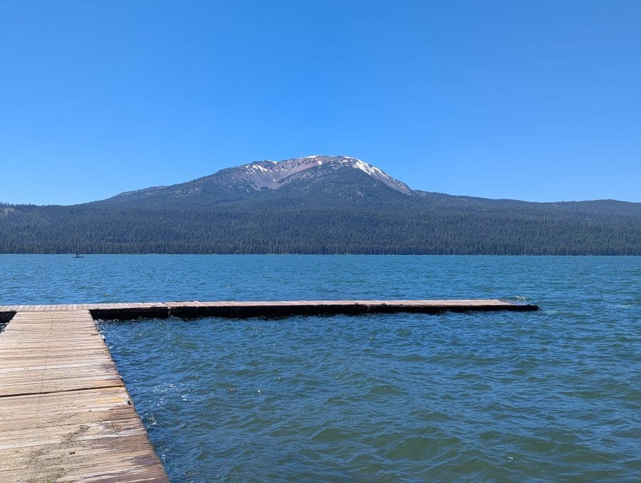
As for the Thiesen View campground on the west shore, I don’t have any reason to believe it would be better for us than the Diamond Lake Campground on the east shore. There are RV parks at both the north and south ends of Diamond Lake, but I am not going out of my way to stay at one. To the east of Diamond Lake is a cone-shaped mountain called Mount Thiesen. Seeing its reflection in Diamond Lake will have to wait for another trip. As for Diamond Lake, it was beautiful.
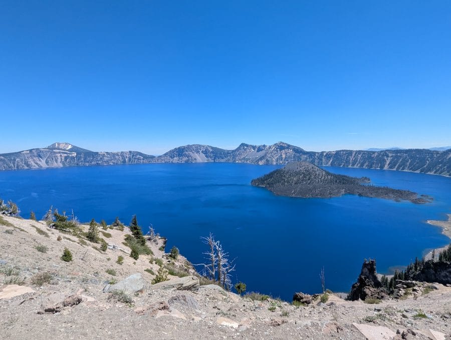
Diamond Lake is north of Crater Lake, and we turned south and entered Crater Lake National Park from a new, seldom-used direction. Instead of driving up from the south and returning the way we came, this time we drove through the National Park from the north to the south. Crater Lake, as usual, is stunning. Every time we visit Crater Lake, including once before the snow melted, we have a great time. Here is a link to our updated article. Crater Lake National Park
Staying at Collier Memorial
Unlike the RV park at Klamath Falls, Collier Memorial is in the trees. We stayed for four days before we crossed eastern Oregon. For us, it was kind of a break from moving. We had been moving pretty fast all across California during the spring and anticipated the long drive across eastern Oregon as an extension of the quicker pace.
Our route across eastern Oregon
What I didn’t know when I planned the route across eastern Oregon was all the difficulties we would face before we even got there. When we got to Collier Memorial State Park, I was ready for a break. It wasn’t a bad trip from San Diego to Klamath Falls, but it was eventful. If you missed the story about our spring, here is a quick link. Our spectacular 2026 spring trip.
Here is a quick recap of our issues while heading to Klamath Falls: Plumbing = fixed. Air suspension = fixed. Cord reel = still broken, waiting for parts. Clogged crankcase ventilation filter = fixed. New tires, new chassis batteries. Bank account = still empty.
Crossing eastern Oregon
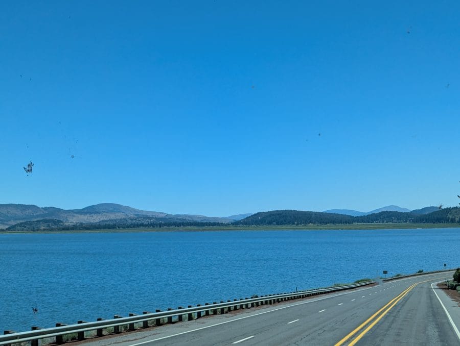
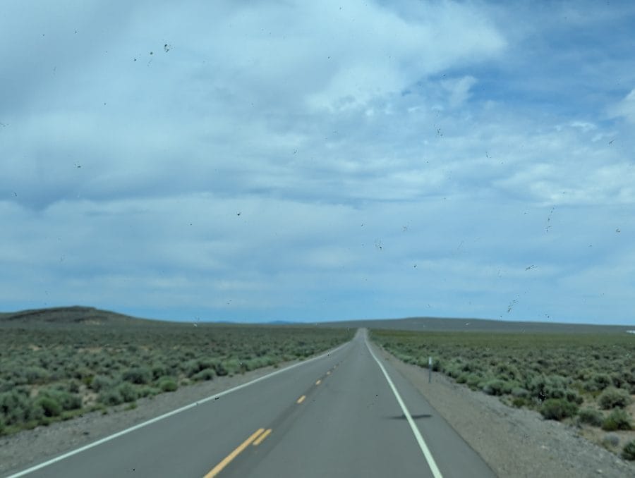
We were taking a new route crossing eastern Oregon, and at first it was very suspicious. Usually we start in Bend, Oregon, on our way to Boise. This time we were starting in Chiloquin. Our first leg was on the Silver Lake Road (SR-676). Silver Lake Road is north of Kirk (a place, not a town) and goes through the center of the Klamath Marsh National Wildlife Refuge. The part of the road we were concerned about was around the Klamath Marsh west of Silver Lake, but it was fine.

Note to future self and others: once you get to Silver Lake, make sure not to follow the highway to Summer Lake. Summer Lake is way too far to the south. East of Silver Lake, turn north to Christmas Valley on County Road 5-14 and then to Burns. Once in Christmas Valley, keep going east on the longest, straightest road in Oregon. (My evaluation is based on feelings, not facts). The road well to the east of Christmas Valley to Burns is much prettier, or at least it isn’t the longest straight road in Oregon.
The Burns Fairgrounds
As usual, we spent one night at the center of eastern Oregon at Burns. It was getting pretty warm, which eliminated the boondocking sites at both Chickamoniny Lake, west of Burns, and Chukar Park, east of Burns. Downtown Burns won the vote, and we stayed on a gravel pit campground at the fairgrounds. The most memorable thing was the cloud of mosquitoes we had in the shade of our RV the next morning.
The reason we don’t boondock as much in the summer is heat. We can run one of our air conditioners for short periods on our batteries, but don’t want to use them for extended periods because they draw too much power. If we are sitting in the sun, our (huge) solar array can’t keep up with the air conditioning. Maybe someday, I will be able to do this, but not yet.
Our southern route across eastern Oregon.
I like the routes farther north better. Like the route from Bend to Burns in eastern Oregon, both routes pass through Burns. I like the route even farther north that passes through John Day and completely skips Burns. My favorite route across eastern Oregon goes through La Grande and Pendleton, but this one only makes sense if you are not going through the heart of eastern Oregon.
Please subscribe and join us on our journey
We will add you to our email list and send you updates once a week. Here is a link. Subscribe
About our links
As you know, our blog income is zero – this allows us to be independent and just tell the truth. We do not get income or commissions. No, we don’t make paid endorsements. We don’t make recommendations, but instead, we will tell you what we like (or dislike). The links are only provided as a quick reference to help our readers.
Links
Collier Memorial State Park, Chiloquin, Oregon
Harney County Fairgrounds, Burns, Oregon
Hi Valley RV Park, Eagle, Idaho
About Comments
We love seeing your comments, but they are not automatic. I get about 20 spam comments every day, so I don’t allow automatic comments. I read and personally publish every comment to protect the blog and keep it on topic and real. So what this means for you is that you will not see your comment right after you hit submit. Sorry for the delay in publishing your comments. Please know that we love hearing from you.
Enjoyed your trip. We have actually left from Bend to North Carolina. Several different routes. Thanks for sharing.
Sounds like quite a trip. Are you going to be near Yuma this winter? We will be there Oct 15 til the end of March.
Enjoy your post each time they come out. We are planning our Northwest trip for next spring and have been mapping out the route following your articles. We will be leaving from Arizona. Thanks for all the details in the articles
Since I grew up in Burns, I understand the area. Dry and seems to be on fire all the time. We are currently in Burns, and there are 3 massive fires burning right now. Very smoky, and 2 of the roads out are now closed. Kind of stuck for the time being. Never done the John Day route, but want to do that sometime.