Bears Ears National Monument is north of Bluff, Utah, and west of Cortez, Colorado. Overall it is bigger than many small states.
Bluff, Utah
After seeing my brother and driving back from Albuquerque, we spent one more night at Navajo Dam. Yesterday we moved about 140 miles to Bluff Utah. It is hard to find out any information about Bluff, about where to stay, without knowing the area, so I picked an RV park in town, almost downtown, and figured that I would come up with a better plan after we arrived. We are working our way north towards Moab which is another place that I have always wanted to go to but never had a chance, until now. Bluff was just a bonus stop along the way. Bluff deserves to be a destination; well at least the surrounding area would be a great destination.

Sand Island
After arrival, in Bluff, we took a quick look around and decided the best thing for us would be a four-mile move from the town to Sand Island a campsite on the San Juan River. Sand Island was a possibility all along, but we needed the personal knowledge of things like, are there any available spots that we can fit into — before we arrived. Sand Island is also very much under the radar. At Sand Island, we would spend the rest of the week, while we explored the area.

Goose Necks State Park
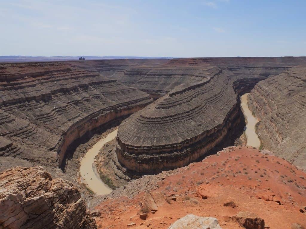
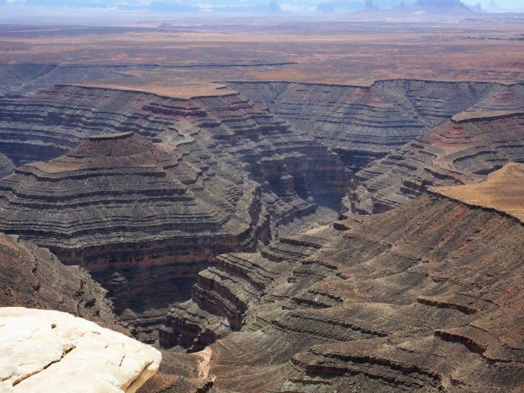
In the campground, a very short walk from our campsite, there is a cliff covered with petroglyphs. A little to the west is Goose Necks State Park (with campsites). North of Goose Necks is the Utah version of Monument Valley, called Valley of the Gods. Towering red sandstone cliffs (with free BLM off-grid camping).

Moki Dugway
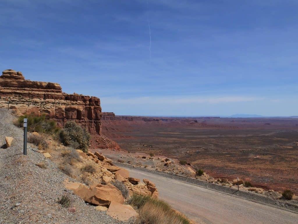
Just to the north of Monument Valley is the Moki Dugway which is a road, first established to haul ore from the Happy Jack Mine to the mill in Mexican Hat. The road is steep, 11% grade and designed for the ore trucks to descend three miles to the valley floor. Officially it is listed as not recommended for vehicles over 11,000 pounds or 28 feet long. Much of the road hugs the cliff face of Cedar Mesa. We took the Moki Dugway and road to the north all the way to Natural Bridges National Monument. We were happy to have left our RV at Sand Island.

Hovenweep National Monument
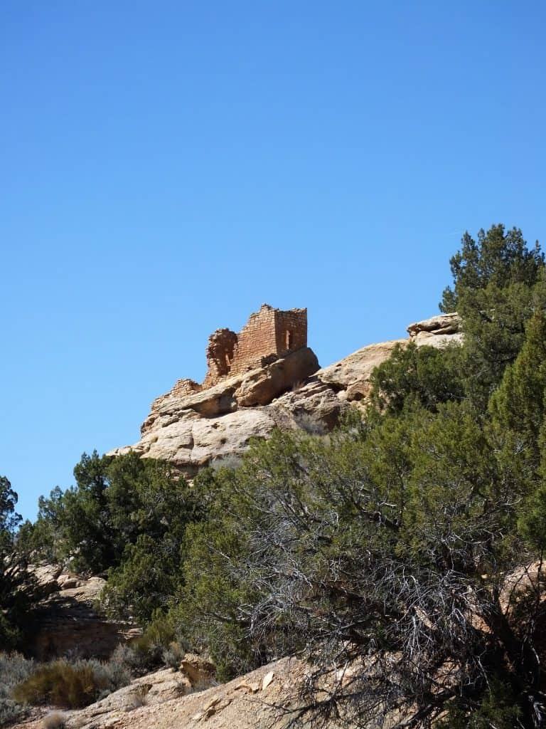
Well to the east of Bluff is a little, out of the way ruin called Hovenweep National Monument. This is a little, box canyon at the head of a small creek that is dry for the hottest months of the year. The creek bed runs south along the west side of the Utah/Colorado border until it reaches McElmo creek. McElmo Creek joins the San Juan River at Aneth. Have I mentioned that these places are un-heard and way off the beaten path? All of these locations are just to the north of the Navajo Nation. If the area was more mountainous they would have been ghost towns.

This entire area is designated (and much disputed) as the southern part of Bears Ears National Monument. As far as I can tell, it was mostly all government land, unoccupied, that had a name change. Bluff and Sand Island are on the southern edge and the monument goes about 75 miles north and abuts Canyonlands National Park and Glen Canyon National Recreation Area. Some of the locals think the designation will bring more tourist dollars, others are waiting for federal dollars to flood in (good luck on that one). Other locals would just as soon put up a fence and keep the Feds and the tourists out.

Bears Ears National Monument
Bears Ears National Monument is huge, about the size of a New England state, but I can’t really define the boundaries of what agency controls — which portion (if any control was needed or wanted – this is the backcountry — controlling it, is kind of a funny concept). So far the name change hasn’t affected the area, other than to cause debate.

Here is a link to the google map for the area.
Link to our 2018 Route.
Link to our route New Mexico to Salt Lake City
Our blog page doesn’t allow comments after one month… So much for me controlling it – I am not a coder… Please comment anyway, by filling out the form at the bottom. Be sure to mention which post you are commenting on, I will be glad to manually insert them.


I love that area. And you are there at the right time. Look up House on Fire. Easy hike.
Incredible view. I’m sure it’s getting pretty warm there.
Gorgeous. We will have to find it on the map.