Russia sold Alaska to the United States for one simple reason. Russia sold Alaska because Russia needed cash and the United States had cash. Although Canada would seem to be the logical choice, for Russia, selling Alaska to Canada wasn’t an option.
Russia didn’t want to sell Alaska to Canada. Canada was part of the British Empire and the British opposed Russia in the Crimean War (Russia lost). Losing the Crimean War was the reason that Russia needed cash. Russia sold Alaska because war is very expensive, especially if you lose.

Russia claimed Alaska
Russia claimed Alaska as a territory in 1799 and founded a trading company named the Russian-American (trading) Company. The Russian-American Company exploited the natives (including slavery) and unwittingly introduced diseases to the natives that in some cases killed up to 80% of the population. Small Pox in 1835 was the most deadly epidemic. Small Pox, dysentery, influenza, typhoid, whooping cough, and measles killed more than 60 thousand natives. When Russia sold Alaska the native population was almost gone.

No records of the population of Alaska exist before or during the Russian period. During the Russian period, all census data was conducted by the Russian Orthodox Church and they only counted converts to the faith. Alaska population estimates made by the Russian-American Company in 1860 were a total population of about eleven thousand including 823 Russians.

In Alaska, Russia’s primary focus was easy and highly profitable trading in the fur market. The fur trade died along with the native population. Russia traded with and employed native Alaskans to get furs to trade on the European markets. Russia noted the decrease in available furs to buy and thought that since they had a similar fur opportunity in Siberia, Russia sold Alaska.
When Russia sold Alaska
Russia sold Alaska to the United States also because governing Alaska was a burden and because the fur trade was unprofitable. Alaska wasn’t even connected to Moscow by land and was only accessible by boat. Governing Alaska was a financial burden. So Russia sold Alaska to the United States because we were a previous “partner” and they wanted out of the unprofitable partnership. Russia thought of the trading company as a partnership but really the United States government wasn’t partnered with Russia; rather the partnership was between some rich Americans and the Russian monarchy.
Russia sold Alaska to the United States for cash. The purchase was for the entire land mass of Alaska, including all the Aleutian Islands, all the way to and including Attu, and surrounding territorial waters. The purchase price was 7.2 million dollars. The price was set at 2 cents per acre, although the boundaries were set without actually knowing how big (in terms of acres) Alaska really was.

Russia sold Alaska also because they realized how difficult Alaska would be to defend if Canada and British Empire decided to take it away by force. If that happened, they would lose Alaska without a fight (or payment) because Russia couldn’t defend against a land war from Canada using only a few Navy ships. In the early 1800s, taking land by force was still common.

When Russia sold Alaska, Alaska was considered to be a northern wasteland, by both the Americans and Russians. The wasteland viewpoint was a primary driver in terms of price. Russia had a few settlements in Alaska for more than one hundred years. The settlements were few, only on the coastline, and had plenty of Alaska unoccupied between them.
After Russia sold Alaska, politicians expressed how the purchase was folly and that the purchase price was way too high. The politicians all changed their feelings in 1896 during the Klondike gold rush. Perhaps the price wasn’t too high after all.
Our travel to Palmer
Our first stop south of Denali State Park was Palmer. Palmer was founded by George W. Palmer in the 1890s almost thirty years after the United States purchased Alaska. Palmer’s intention was to take over where the Russians left off as a trader along the Matanuska River.

Except for the presence of the United States Army, before and after Russia sold Alaska to the United States, Alaska was mostly a lawless, ungoverned territory. For the next thirty years after Russia sold Alaska to the United States, the Alaska territory was pretty much ignored. Thirty years after Russia sold Alaska, gold strikes in the Yukon and near Fairbanks changed the ungoverned free-for-all part of Alaska forever. Government controls rushed in to also “profit” from the gold strikes.
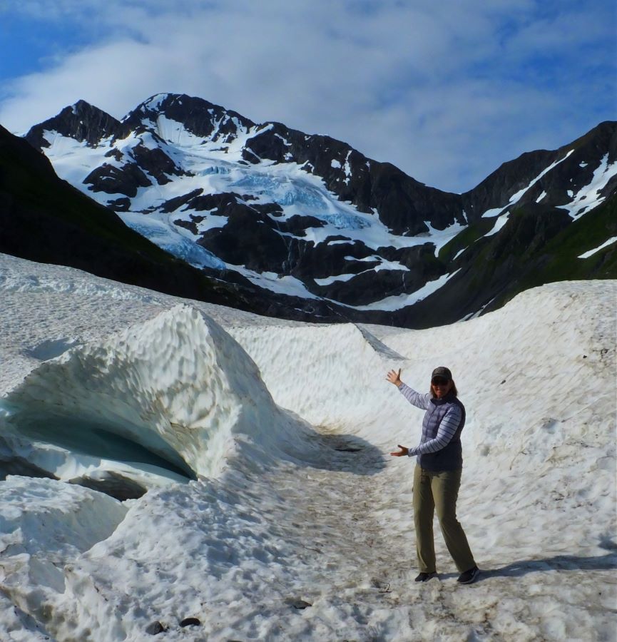
By 1917 Palmer (the town) sported a train stop. The purpose of the train was to connect Anchorage to the coal mines in Chickaloon. Chickaloon is located up the Matanuska River, which starts at the Matanuska Glacier. In August we intend to drive the route, through Chickaloon, when we travel from Anchorage to Valdez.

On our route south of Denali National Park, we got a different view of Alaska. Instead of wild, this part of Alaska is occupied. We were following the Parks Highway southbound from Denali National Park and Denali State Park. With the exception of Denali Park, the tourist trap town at the entrance to the park, for a span of 350 miles south of Fairbanks, we were seeing gas stations marked on the map as towns. Part of my story about Denali is about finding my mail at a gas station… the postmaster told me that it might be there.

It was 350 miles between cities with grocery stores. I really loved the route, especially seeing Denail after twelve days in Denali National and Denali State Parks. Here is a link to the story. Denali is the big mountain in the clouds

Our stay in Palmer
The George Parks Highway connects the towns of Willow, Houston, Wasilla, and Palmer. Palmer is in the Matanuska Valley north of the Matanuska River. To the south, the Matanuska River connects to the Knik Arm of the Cook Inlet. Palmer is about 45 miles north of Anchorage.
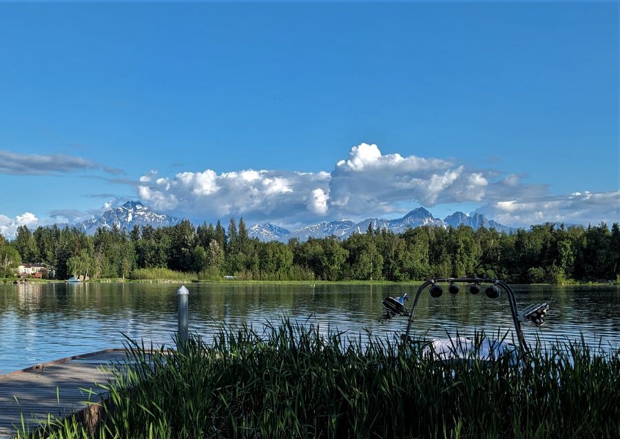
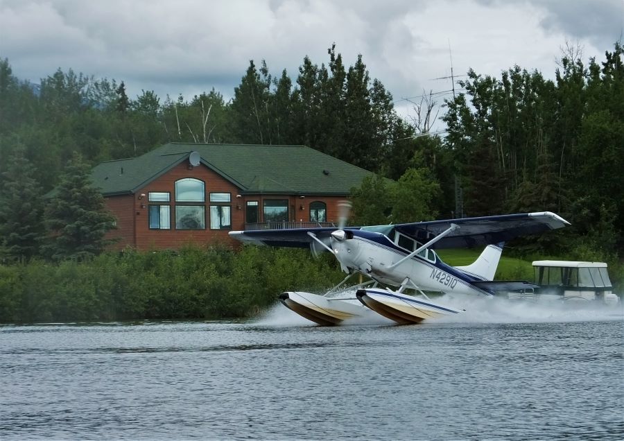
Palmer and the region have a large selection of grocery stores contrasting this region to our previous 350 miles on the Parks Highway. North of Wasilla, the only groceries are found in gas stations, with the only exception being a tiny grocery store in Denali Park. While in Palmer, we stayed at Finger Lake State Park. While there we gave our kayaks a good wetting while watching float planes take off from the lake.
To the north of Palmer was Hatcher Pass and the Independence Mine State Historical Park. I don’t have any good pictures of Hatcher Pass or the Independence Mine so instead I included the following video made by some friends of ours.
Our trip to the Independence Mine State Historical Park was a complete failure. We left Palmer in the rain (it rains a lot in Alaska) and when we crossed Hatcher Pass we were in a cloud thick enough that we couldn’t see even 30 feet off the road. We passed Summit Lake at the top of Hatcher Pass without seeing anything other than the sign.
Our stop in Eagle River
A few days later we moved camp to Eagle River State Park. While there we found a brief good weather window to ride the bikes around Eagle River and while there we spent some time and money in the Anchorage Costco. Our previous visit to Costco was in Fairbanks. After our trip south supplies were running very low.

Further south to Portage
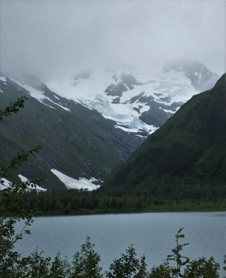
Several of the above pictures came from Portage Valley. It is located south of Anchorage. Instead of going to the Kenai Peninsula, we turned east towards the Portage Glacier. With any luck, we could see our first close-up Glacier at Portage Lake and visit Whitter. The plan was to find a calm day without rain and paddle our kayaks across Portage Lake all the way to the terminus of the Portage Glacier. Paddling our kayaks across Portage Lake didn’t happen due to the weather and wind, but we did get to go to Whitter. Whitter is a cute town. I will save that story for next week.

Please subscribe and join us on our journey
We will add you to our email list and send you updates about once a week. Here is a link. Subscribe
About our links
As you know, our blog income is zero – this allows us to be independent and just tell the truth. We do not get income or commissions. No, we don’t make paid endorsements. We don’t make recommendations but instead, we will tell you what we like (or dislike). The links are only provided as a quick reference to help our readers.
Links
Alaska Wildlife Conservation Center
A History of Alaska Population Settlement
About Comments
We love seeing your comments but they are not automatic. I get about twenty spam comments every day and thus I don’t have automatic comments. I read and then publish every comment personally to protect the blog and keep it on the subject and real. So what this means for you is that you will not see your comment right after you hit submit. Sorry for the delay in publishing your comments. Please know that we love hearing from you.


You need to go to Exit Glacier when you are on the Kenai Peninsula. It’s quite interesting. Also, the tunnel to Whittier is an interesting drive. Safe travels.
Such a beautiful trip. Very interesting history! 👌 Thanks for sharing.
It was a year ago this month that we got “back home again in Indiana,” having left for Alaske May 15. The first week home, I checked out Michener’s “Alaska” from the library. If you have not read it, I recommend it highly. It tells the whole history in novel form. It is also a several hundred page tome. Having experienced many of the places where the story takes place, I was enthralled. I have also really enjoyed revisiting this wondrous place reading your blog.
Nice pictures what a great trip.
Thanks, Scott for some very good information. Love your research. Enjoy.
Pingback: Valdez is the most important city in Alaska - FoxRVTravel
Pingback: Historic Skagway and the Klondike Gold Rush - FoxRVTravel
Pingback: Exploring Seward and Resurrection Bay - FoxRVTravel